Skip to content

Flight / UAS

From the flying field to digital airspace.

As a child, I flew model aircraft, when flying was all about radios, servos and entirely manual setup. Today, at TopView, I coordinate UAS flight operations and work across system integration, regulation, sensors and applied research. The technology has changed; the way I approach it has not: understand the system, take it into the field, make it work.

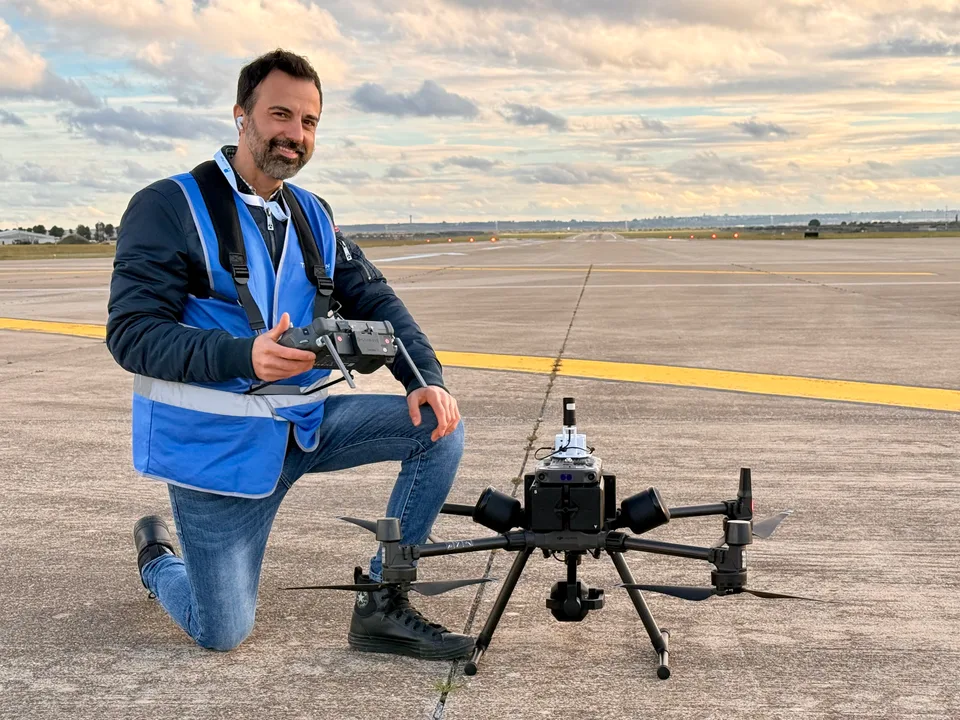
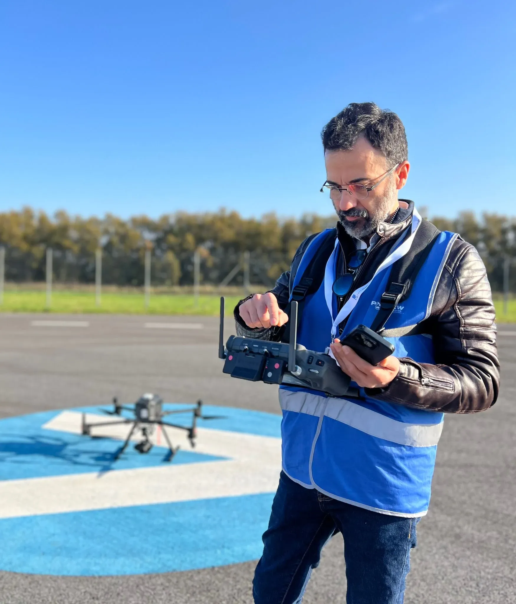
Gianluca Luisi with a UAS on the runway of Grottaglie airport.

Origins

Before autopilots

My relationship with flight began very early, with model aviation. There were no automatic stabilisation systems, GPS or affordable flight controllers: every adjustment came from your hands, from listening to the engine and from what the aircraft gave back in the air. That is where I learned to observe, fine-tune and take responsibility for a machine in flight.

Years later, while I was working as a sound designer, civilian autopilots began making experiments possible that had previously belonged almost exclusively to the military and research worlds. Every weekend, the flying field was a regular fixture, and I would spend entire days there. Alongside flying traditional model aircraft, my cousin Alberto, now the founder of TopView, began involving me in the first experiments with these technologies. With TopView, that experimentation would gradually become a profession.

Moving from model aircraft to drones was not a break. It was the natural evolution of the same curiosity about flight, technology and complex systems.

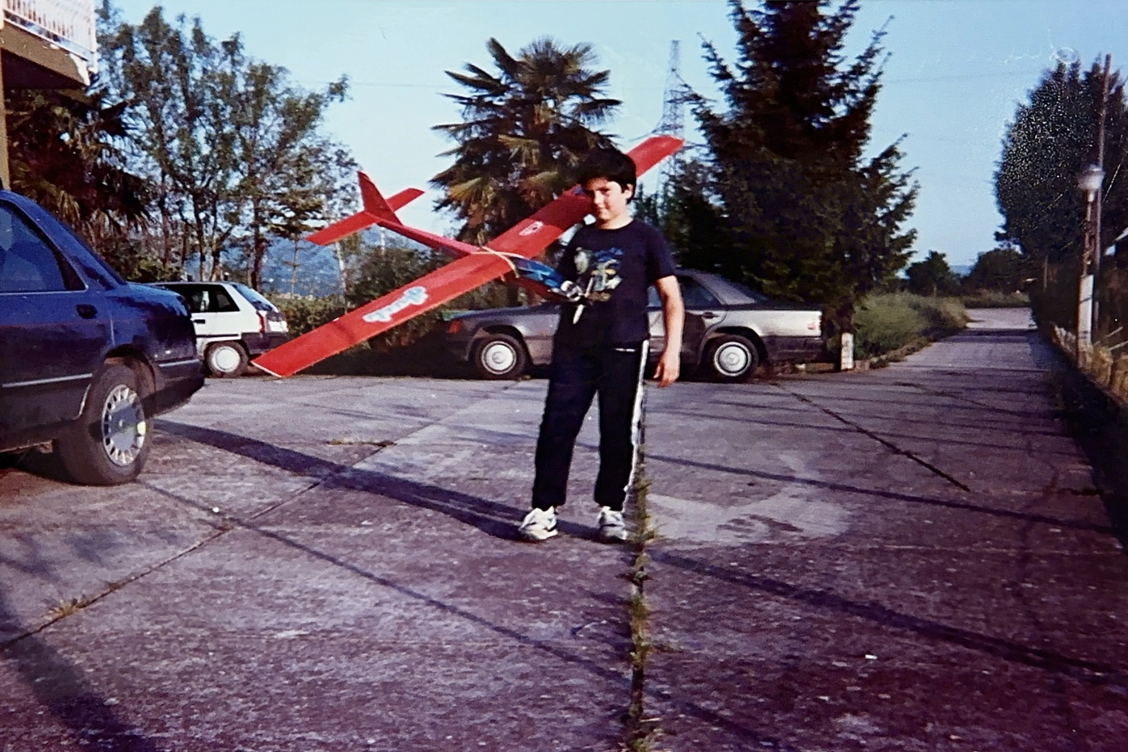
Gianluca Luisi as a child with one of his first model aircraft.
With one of my first model aircraft.
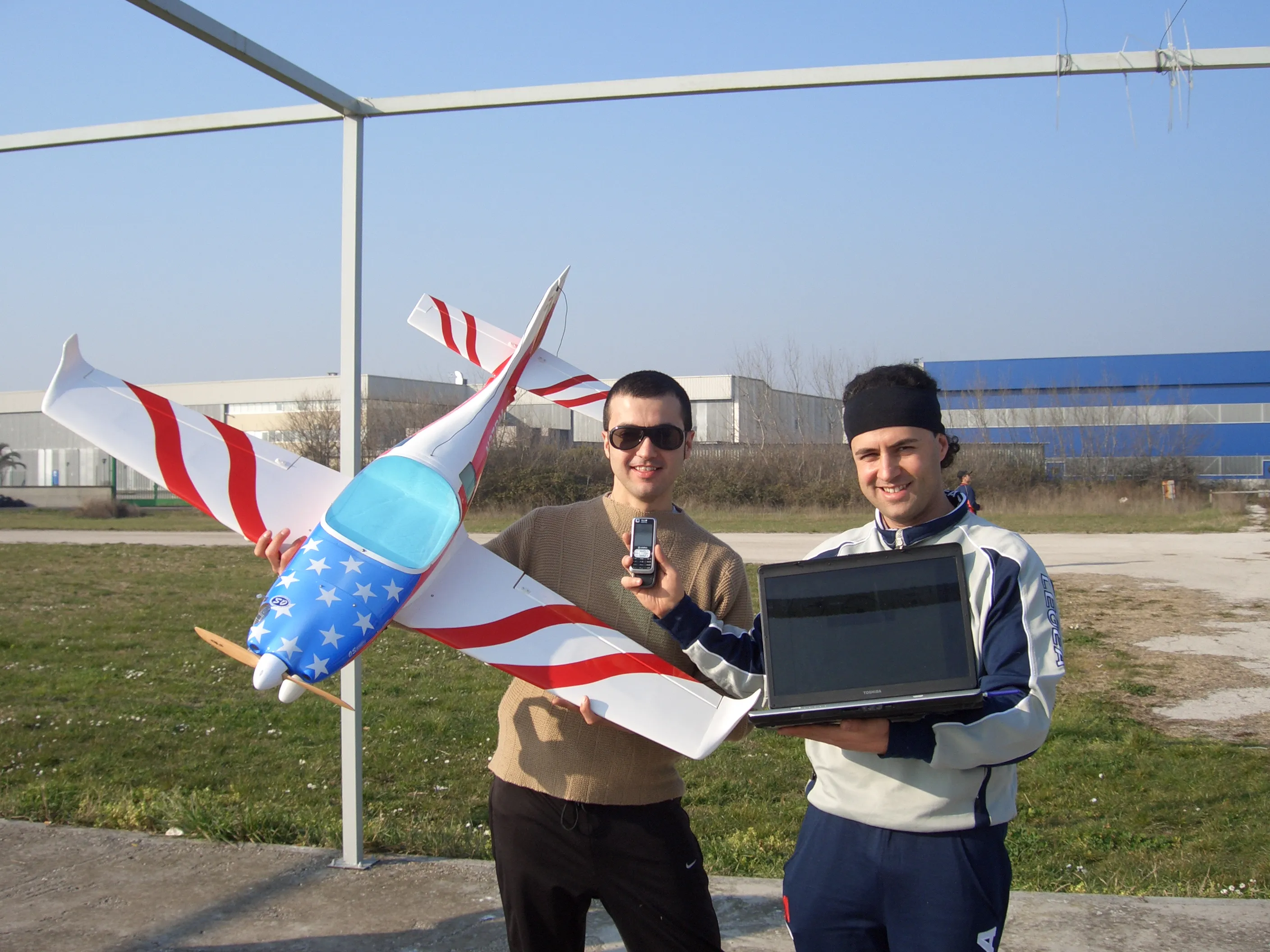
Gianluca Luisi with his cousin Alberto at the Capua flying field, beside a radio-controlled aircraft and a laptop.
A day at the Capua flying field with Alberto, now the founder of TopView.

Flight Training

When the dream becomes flight.

Flying an aircraft myself was something I had dreamed about since childhood. When I had the opportunity to begin recreational flight training on light aircraft, including the Tecnam P92, the world I had previously experienced through model aviation suddenly became real.

Being at the controls means directly feeling the aircraft's attitude, energy and behaviour, learning to coordinate instruments, attention and decisions. It became an important experience not only personally, but also in the way I approach professional flight and UAS operations today.

That period meant more to me than flight training alone. Experiencing, even partially, the childhood dream of being at the controls gave me a new awareness: flight is not only about technology, but also about attention, responsibility and the ability to remain present at every moment.

Technology can automate many functions. Understanding what flying actually means still makes a difference.

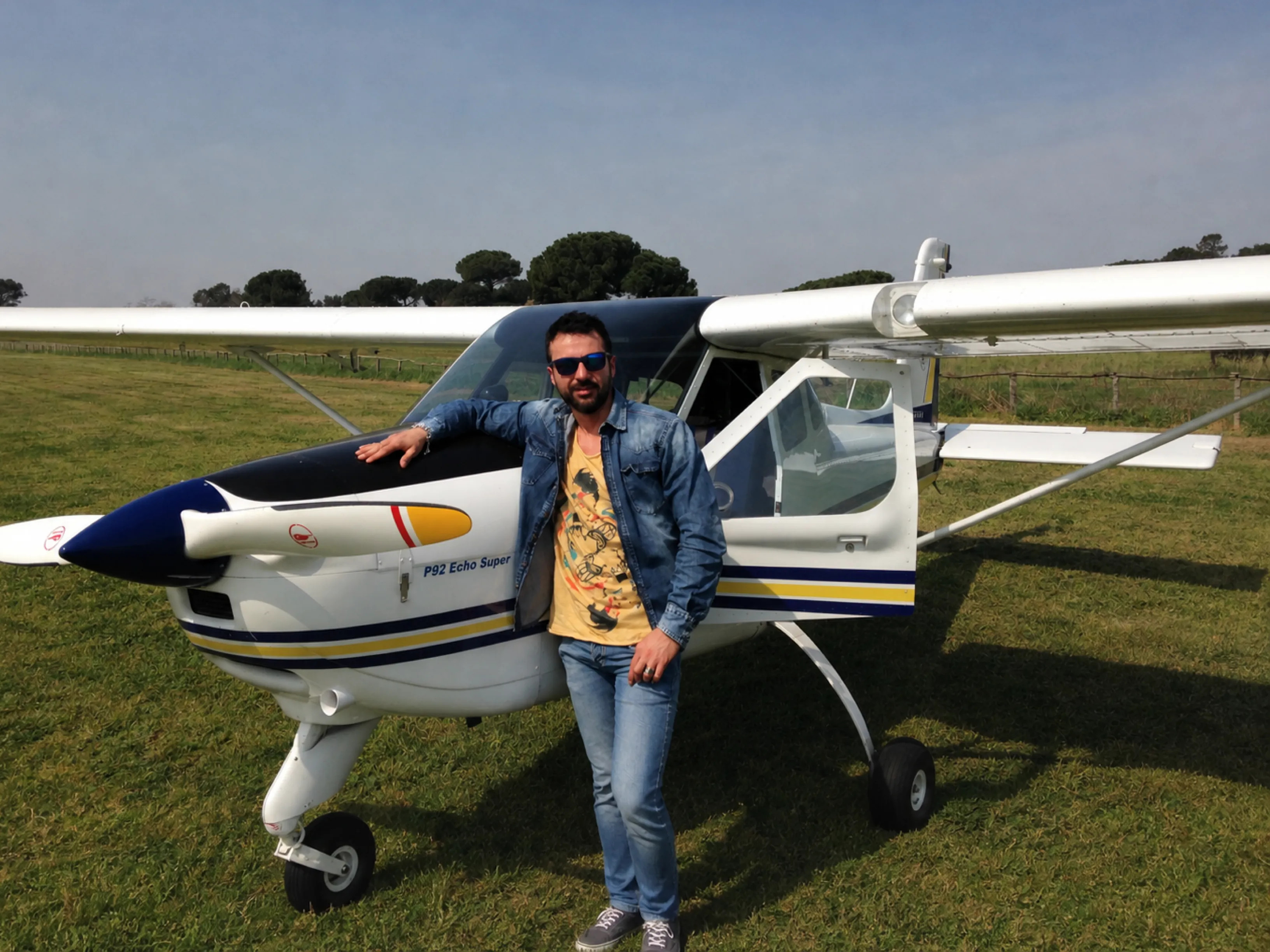
Gianluca Luisi standing beside a Tecnam P92 Echo Super on a grass airfield.
During flight training on a Tecnam P92.
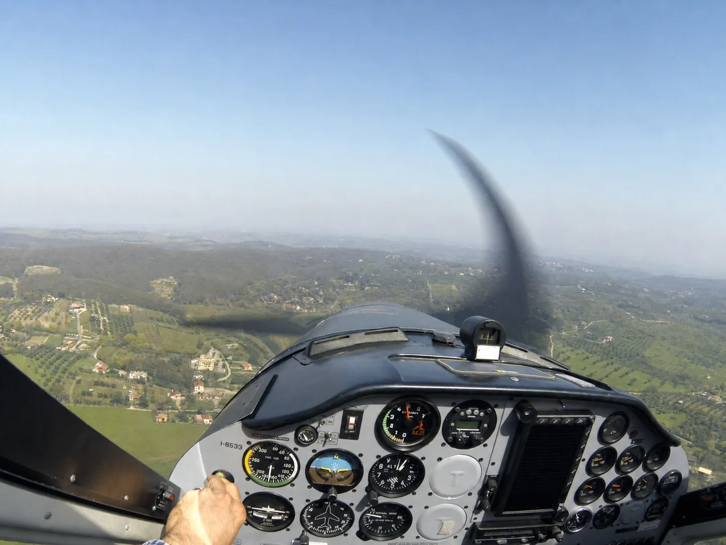
Cockpit view from a Tecnam P92: instruments, spinning propeller and landscape below during a training flight.
In flight, at the controls of the Tecnam P92.

Operations / Systems

Flight begins long before takeoff.

At TopView, my work focuses on the operational and technical side of UAS systems. I coordinate flight activities and follow the platforms throughout their operational life cycle: scenario analysis, regulation, authorisations, configuration, maintenance, payload integration, testing, procedures, the mission itself and control of the acquired data.

I work with multirotors and fixed-wing aircraft, commercial platforms and systems based on open-source autopilots. Missions may involve aerial photogrammetry, LiDAR, optical, thermal or multispectral sensors; they can take place in isolated areas or in airports and controlled airspace, where coordination with authorities and operators becomes an integral part of the project.

The mission does not end with landing: I also work on data processing and validation workflows, including photogrammetric processing and 2D/3D reconstruction using tools such as Pix4D and DJI Terra.

For me, regulation is not a bureaucratic layer added on top of flying. It is one of the elements of the system, together with the machine, the software, the people, the airspace and the goal of the mission.

A successful mission is not just a drone that flies. It is a system that delivers a reliable result, safely.

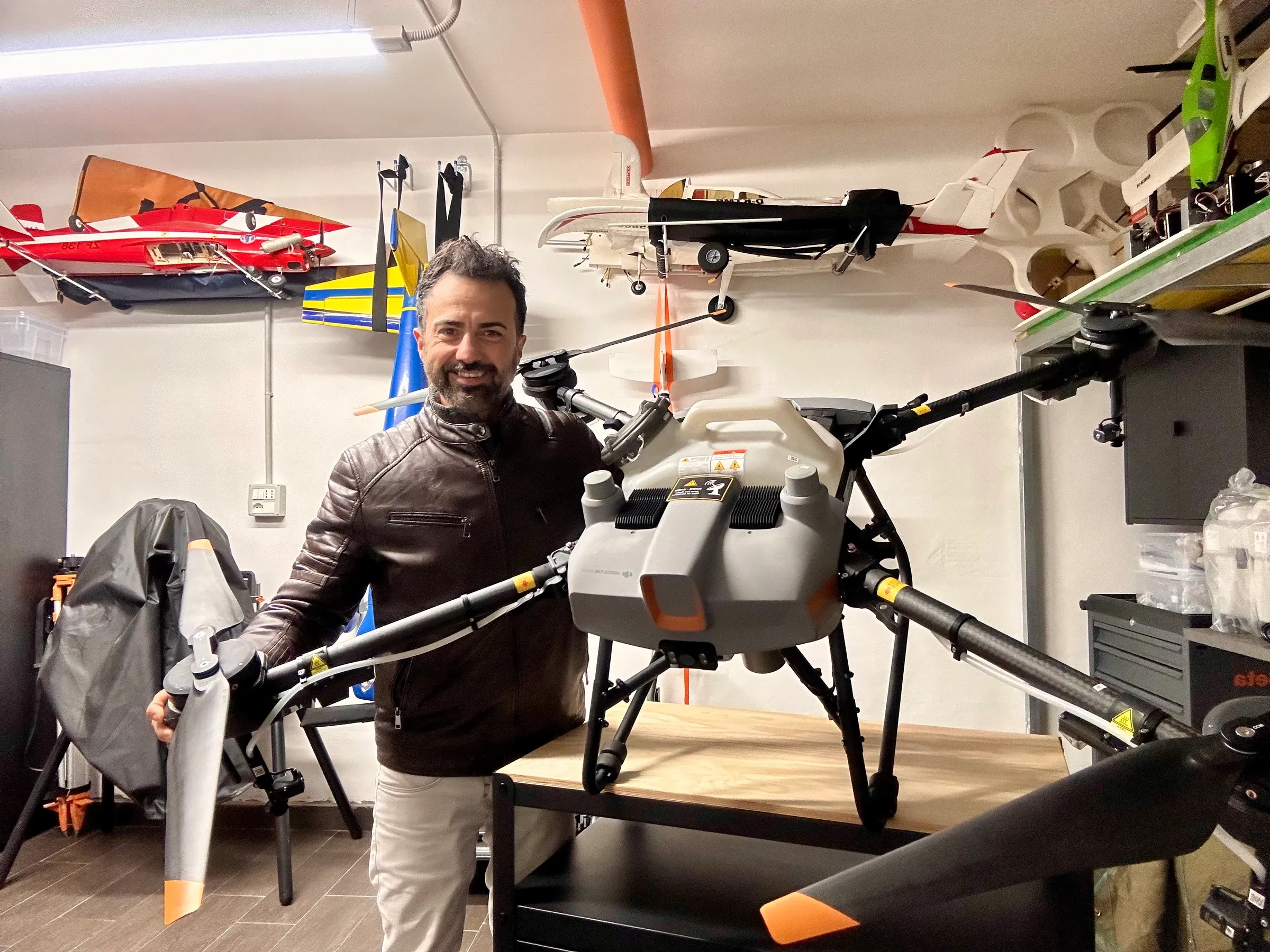
Gianluca Luisi in the workshop between a professional drone and several model aircraft.
At the TopView laboratory with a DJI Agras T10, a drone for agricultural applications.
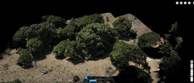
Photorealistic 3D reconstruction generated from a photogrammetric survey.
Photorealistic 3D reconstruction of the survey.
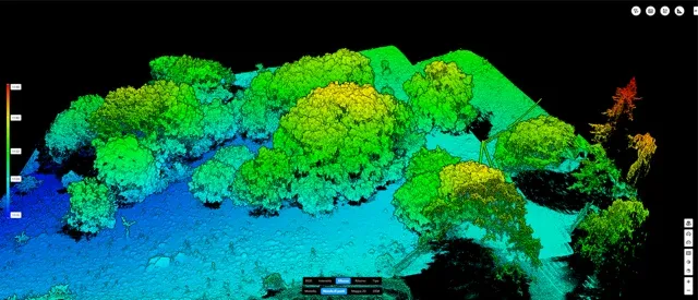
Elevation-coloured 3D model used for geometric and altimetric analysis of the survey.
Geometric and elevation analysis of the reconstructed model.

Flight Simulation

From a room to a research project.

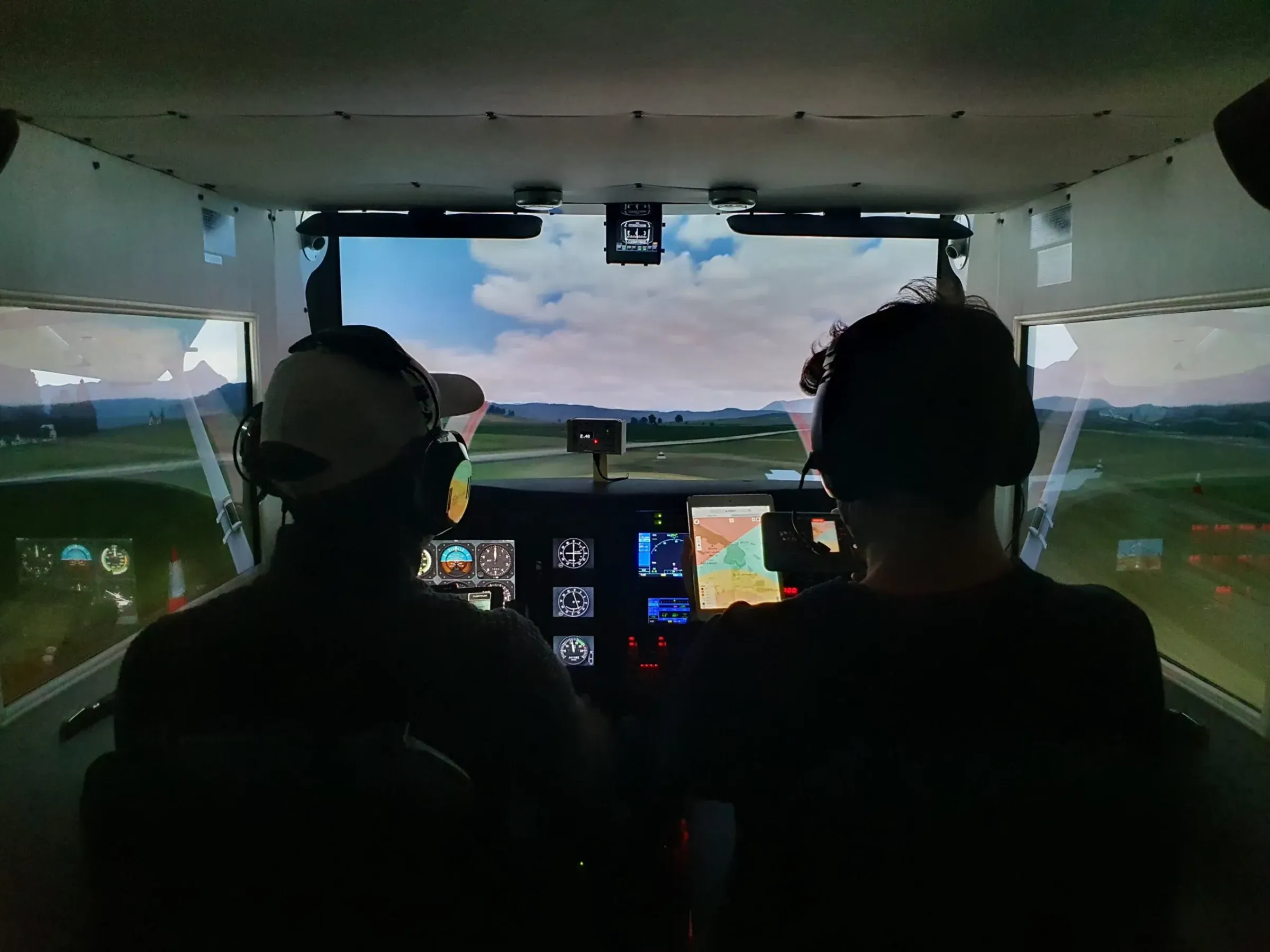
Flight simulation is another part of my story. I designed and built an immersive cockpit starting from a room at home, replicating the instruments, controls and view of a general-aviation aircraft. What began as a personal passion became a tool for experimentation.

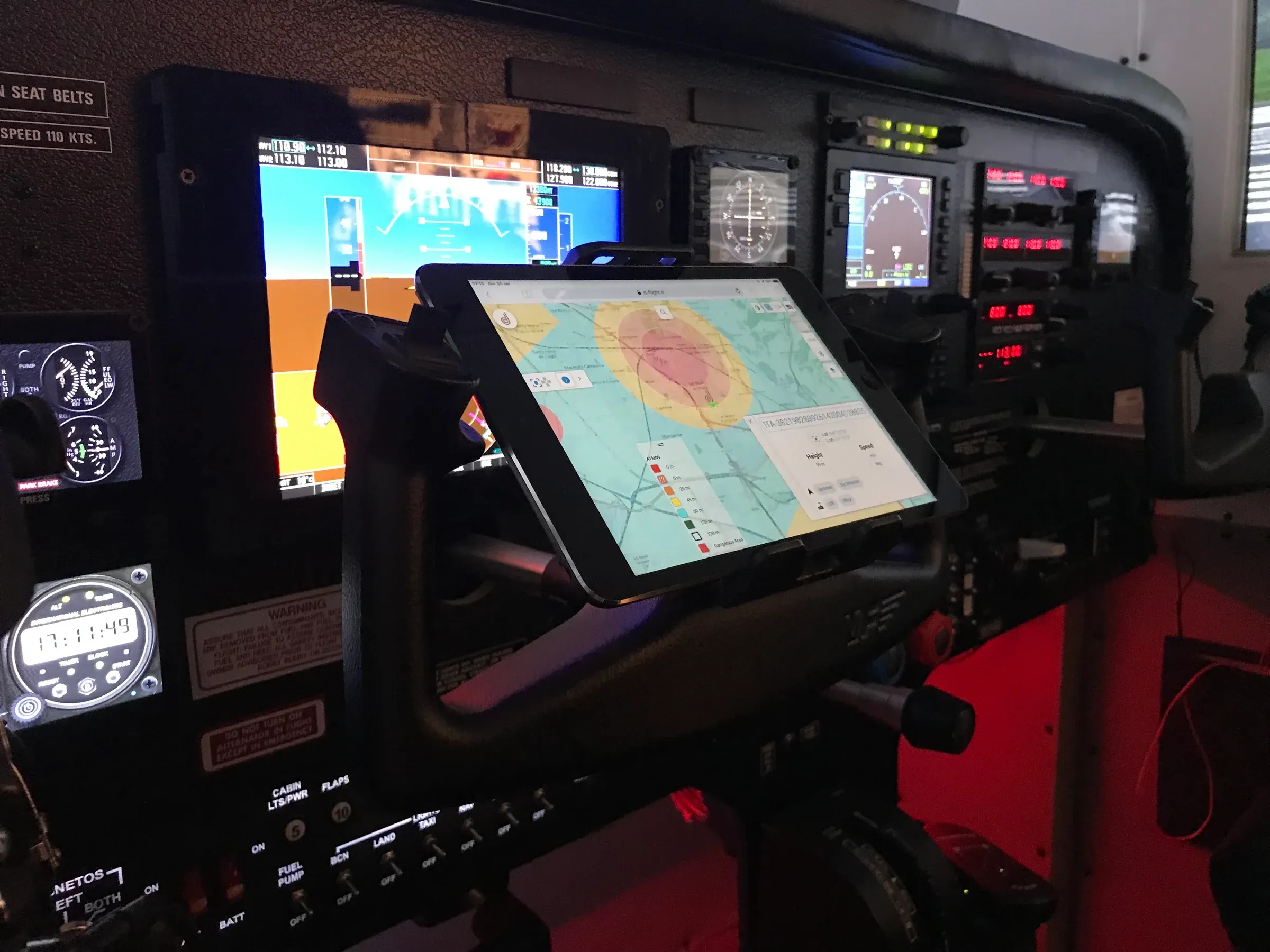
In the DoDo — Door to Door project, developed by NAIS together with CIRA and TopView, the simulator was integrated to evaluate digital services for general-aviation pilots, designed to support the different phases of flight: from route planning and taxiing through to navigation, including through satellite connectivity.

Seeing a system originally built at home become part of a research campaign was one of the most rewarding steps of my journey. The cockpit was later used in further simulation and validation activities related to the interaction between general aviation, UAS and U-space services.

Two people during a session in the flight simulator designed by Gianluca Luisi.
The immersive cockpit during a simulation session.
The simulator’s instrument panel with a cartographic interface used during research activities.
A mapping interface integrated into the cockpit for research activities.

System Integration

A drone that flies and sails.

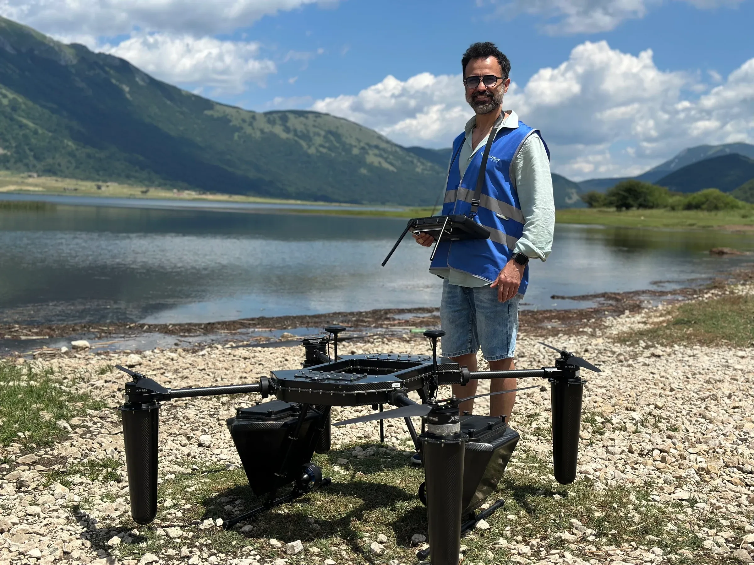
Among the projects I feel most connected to is DAMAM, an amphibious platform developed for environmental surveys. As system integrator, I coordinated its technical and operational development, working with the team throughout the entire process: from design and component selection to construction, system configuration and maintenance, through to flight and water trials.

With a maximum take-off mass of 24.9 kg, the platform can take off from and land on water, move across the surface and carry partially submerged sensors to collect data. Making aerial and marine propulsion, attitude, watertightness, corrosion, payload and safety coexist requires treating the drone as a single system, not as a sum of components.

It is the kind of work I like best: an idea does not stay on paper, but is designed, integrated, tested, corrected and brought back into the field until it becomes operational.

Gianluca Luisi holding the remote controller next to a large amphibious drone on a lakeshore.
Operational tests of the amphibious platform during a flight and water-landing campaign.

Field Notes

Research, when it meets the field.

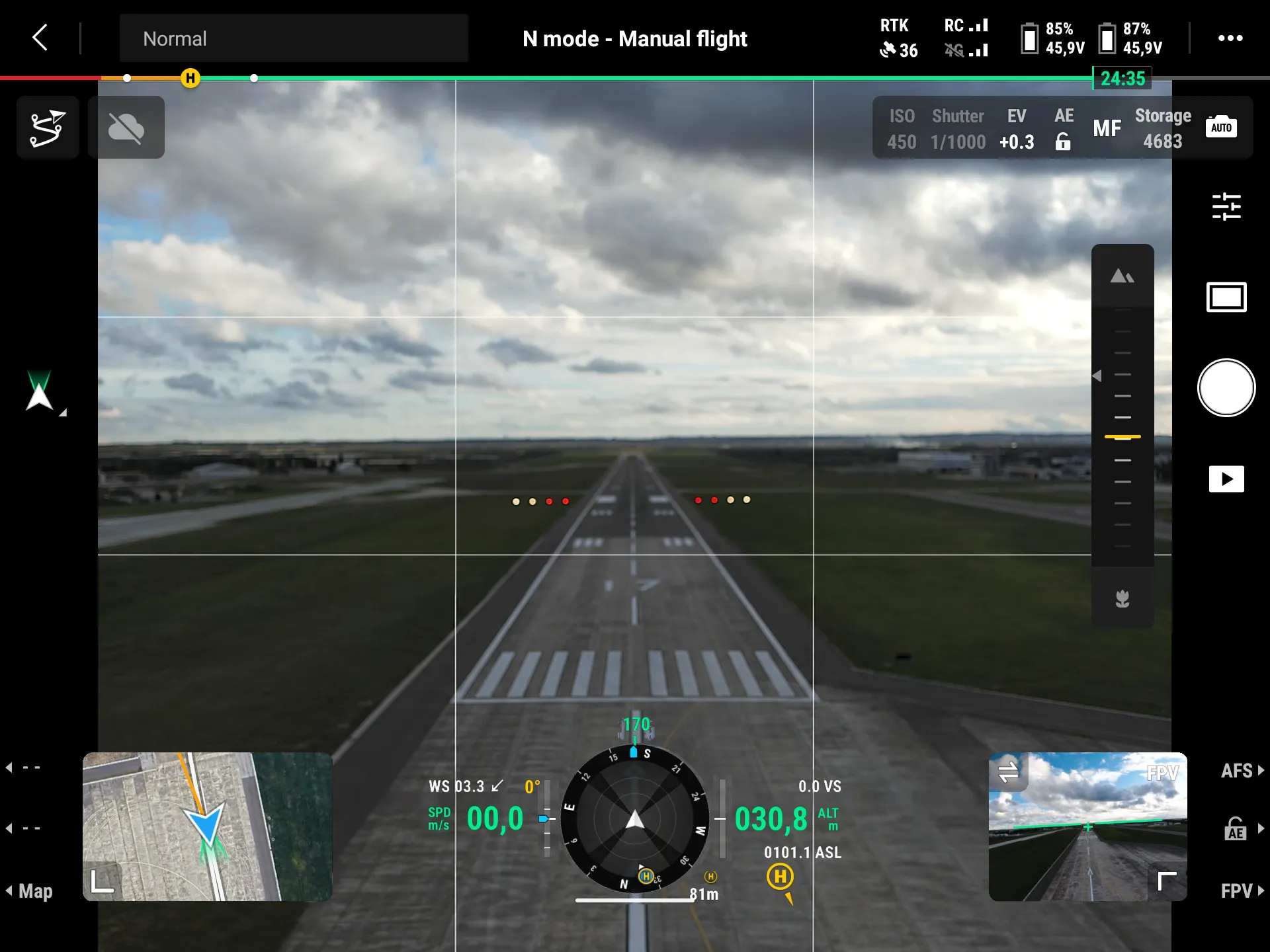
A test gains value when it leaves the laboratory. I have operated in airport environments and controlled airspace, Fiumicino, Grottaglie and the Bari ATZ, within coordinated, authorised missions. In these scenarios, piloting is only the visible part: behind it lie risk analysis, procedures, communications, configuration control and the handling of the unexpected.

In my work at TopView, I have taken part in research campaigns with universities, research centres and industry partners. The settings have varied, from runways and vertiports to the Fucino Space Centre and the JRC laboratories, but the method has remained the same: understand the objective, verify the system, operate safely and achieve a reliable, useful result.

It is in this space, between real-world operations and applied research, that my daily work takes place, from GNSS systems to U-space and Remote ID, through to autonomous and BVLOS operations, sensor integration and drone-based data acquisition. For me, the common thread is the ongoing interplay between what technology makes possible and what a mission actually requires.

Operational UAS view of the Grottaglie runway with PAPI lights visible along the runway.
GrottaglieInspection of the Runway 17 PAPI lights during UAS operations at Grottaglie Airport, Taranto.
Gianluca Luisi prepares a drone’s remote controller at the Pianabella vertiport.
FiumicinoExperimental activity at the Pianabella vertiport as part of the U-ELCOME research project.
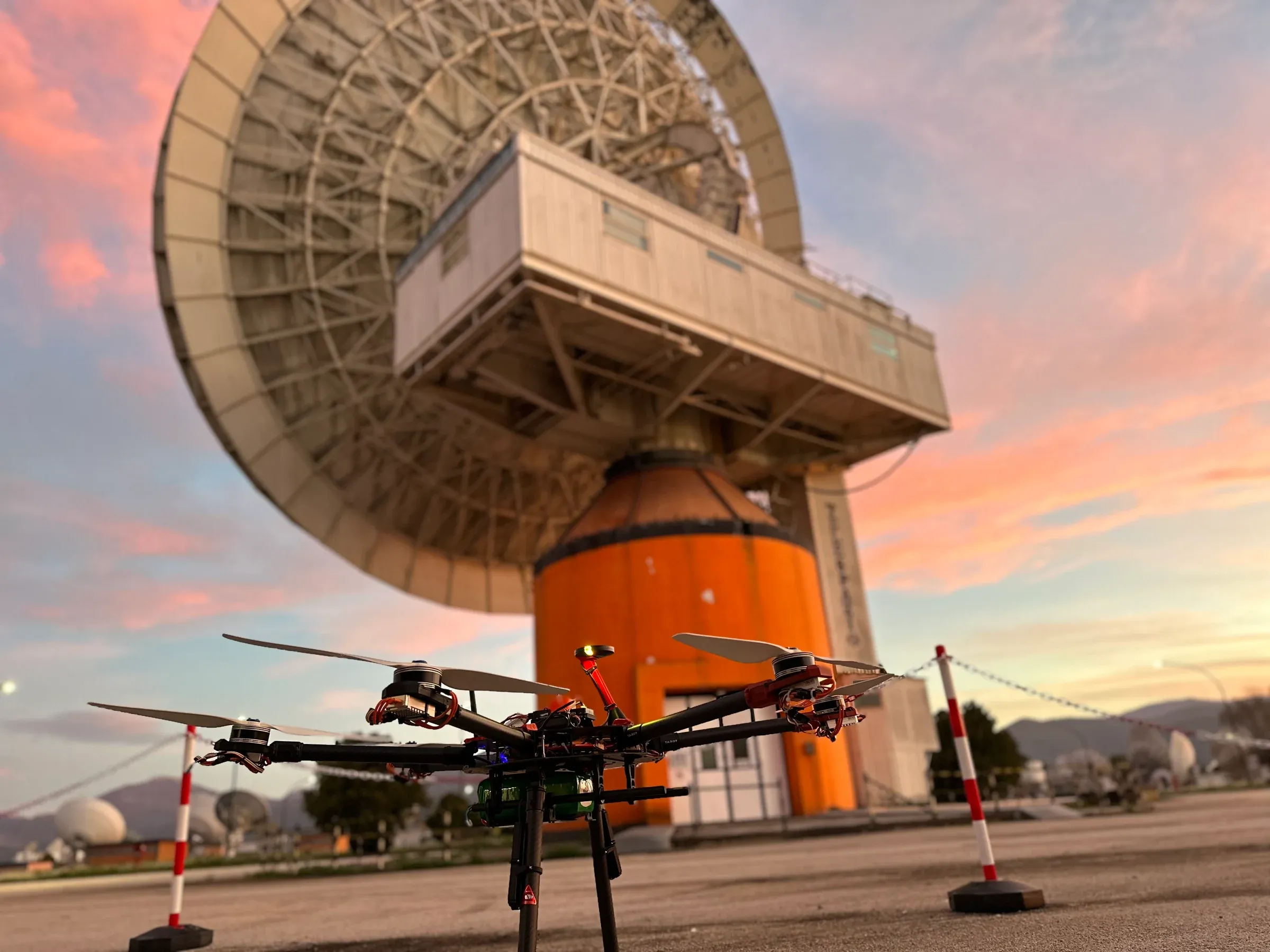
A drone in front of a large antenna at the Fucino Space Centre at sunset.
FucinoExperimental activity at the Fucino Space Centre as part of the U-ELCOME research project.
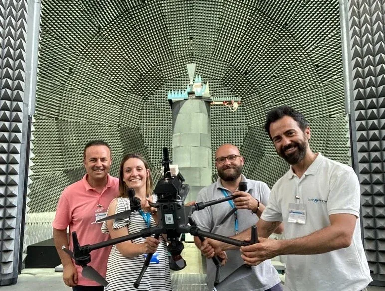
A working group with a drone inside the anechoic chamber at the Joint Research Centre in Ispra.
IspraDuring testing at the Joint Research Centre in Ispra.

Selected Research

Scientific publications

The works collected here list me as a co-author within multidisciplinary teams. My contribution was limited compared with that of the principal authors: I present them not as individual achievements, but as shared research experiences to which I had the opportunity to contribute.

  1. 2023

    Increasing the Robustness of Drone Operations with Galileo Open Service Navigation Message Authentication (OSNMA)

    International Conference on Localization and GNSS (ICL-GNSS), pp. 1–6 CERTIFLIGHT

    The paper uses GNSS data collected on board a drone and a spoofing simulation built from real flight data to show how Galileo OSNMA can increase the robustness of the reported position. A comparison between a multi-constellation solution and one based solely on authenticated Galileo satellites makes it possible to detect inconsistencies that may indicate certain types of attack.

    Topics: Galileo · OSNMA · GNSS security · CERTIFLIGHT

  2. 2021

    AMPERE: Exploiting Galileo for Electrical Asset Mapping in Emerging Countries

    IEEE International Workshop on Metrology for AeroSpace, pp. 709–714 AMPERE

    The paper presents AMPERE, a solution for mapping electrical grids based on drones equipped with GNSS/INS, LiDAR, and optical and thermal cameras. Galileo plays an enabling role in asset georeferencing and in supporting decisions on infrastructure maintenance and development, with particular attention to emerging countries.

    Topics: Galileo · infrastructure · mapping · fixed-wing UAS

  3. 2020

    The UAV Radar Imaging Prototype Developed in the Frame of the VESTA Project

    IEEE Radar Conference (RadarConf20), pp. 1–5 VESTA

    The paper presents a radar imaging prototype carried by a mini-UAV and developed within the VESTA project for cultural heritage monitoring. The system combines a radar payload designed around the platform constraints, centimetre-level trajectory tracking through CDGPS, and tomographic processing with motion compensation and acquisitions along multiple lines, aimed at producing high-resolution images and a three-dimensional visualization of the scenario.

    Topics: radar imaging · cultural heritage · remote sensing · VESTA

  4. 2019

    The role of GNSS to support UAS operations for surveillance

    25th Ka and Broadband Communications Conference, Sorrento SARA

    The contribution examines the role of GNSS in supporting UAS surveillance operations and was presented at the 25th Ka and Broadband Communications Conference.

    Topics: GNSS · surveillance · UAS operations

Continuity

The thread is always the same.

From model aircraft to autonomous systems, flight has remained the place where curiosity and responsibility meet. That is still what I look for in every project: the opportunity to understand, experiment and turn technology into something that truly works.